
Salzburg city walk
- Graham Crewe

- Dec 25, 2022
- 1 min read
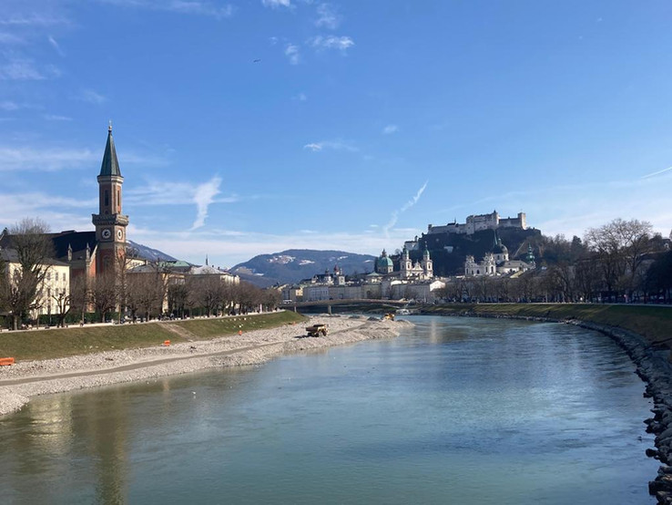
This is a classic Salzburg city tourist route through the old town, past many of the most famous sights and up on the Monchsberg for views over the city. It should take you an afternoon with stops (6.3km, 100m height difference). There is a steep climb up and down on paved paths (some steps) but it is accessible with a robust stroller.
I have created a guide to print and take with you, with a very small amount of information about what you will see along the way. The guide is written twice, for both clockwise and anticlockwise directions. (I would probably recommend doing it clockwise to do more of the sights at the beginning when energy levels are high.)
Download the guide here:
The Komoot (excellent hiking navigation app) routes: - Clockwise: https://www.komoot.com/tour/693136642?ref=wtd
- Anticlockwise: https://www.komoot.com/tour/693465246?ref=wtd

Start point is from the Müllnersteg (https://goo.gl/maps/837HrG2y1kfuoVh48).
There is paid parking on the opposite bank (https://goo.gl/maps/DLpFCLgDPNcHngMcA) in an underground car park. You can also park on Elisabethkai on the right bank of the river where there are parking meters (free on Sundays) but be careful not to park in "residents only" zones.
You can also start the walk from a different part of the route by following the instructions here.


If you do the walk, please comment below and share some photos!


Comments